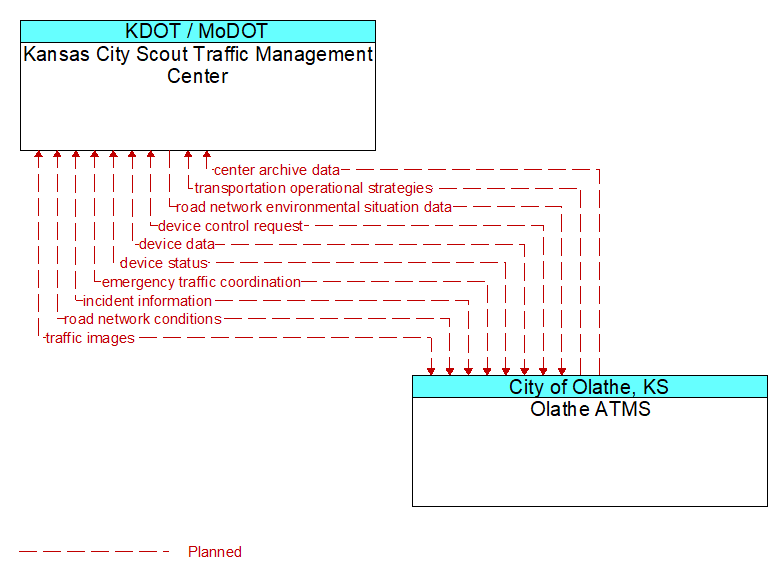
Interface: Kansas City Scout Traffic Management Center - Olathe ATMS
Architecture Flow Definitions
center archive data (Planned) Applicable ITS Standards
Information describing center operations and measures that reflect the impact of these operations on the transportation system. Content may include a catalog of available information, the actual information to be archived, and associated meta data that describes the archived information.
device control request (Planned)
Request for device control action
device data (Planned)
Data from detectors, environmental sensor stations, roadside equipment, and traffic control devices, including device inventory information.
device status (Planned)
Status information from devices
emergency traffic coordination (Planned)
Coordination supporting disaster response including evacuation and reentry. Includes coordination of special traffic control strategies that support efficient evacuation and reentry while protecting and optimizing movement of response vehicles and other resources responding to the emergency.
incident information (Planned) Applicable ITS Standards
Notification of existence of incident and expected severity, location, time and nature of incident. As additional information is gathered and the incident evolves, updated incident information is provided. Incidents include any event that impacts transportation system operation ranging from routine incidents (e.g., disabled vehicle at the side of the road) through large-scale natural or human-caused disasters that involve loss of life, injuries, extensive property damage, and multi-jurisdictional response. This also includes special events, closures, and other planned events that may impact the transportation system.
road network conditions (Planned) Applicable ITS Standards
Current and forecasted traffic information, road and weather conditions, and other road network status. Either raw data, processed data, or some combination of both may be provided by this flow. Information on diversions and alternate routes, closures, and special traffic restrictions (lane/shoulder use, weight restrictions, width restrictions, HOV requirements) in effect is included.
road network environmental situation data (Planned) Applicable ITS Standards
Aggregated environmental situation data collected from vehicles and other sources for the road network. Aggregated information would include measured air temperature, exterior light status, wiper status, sun sensor status, rain sensor status, traction control status, ALB status, and other collected vehicle system status and sensor information for the region.
traffic images (Planned) Applicable ITS Standards
High fidelity, real-time traffic images suitable for surveillance monitoring by the operator or for use in machine vision applications. This flow includes the images and meta data that describes the images.
transportation operational strategies (Planned) Applicable ITS Standards
Operational strategies for each operating agency in a transportation corridor, downtown area, or other travel-impacted area, providing an integrated operations strategy for the freeways, tollways, arterials, transit services, parking facilities, and other transportation-related facilities in the area. These strategies can include dynamic adjustments to transit fares and tolls, parking fees and restrictions, dynamic lane restriction changes, and other active demand management strategies.