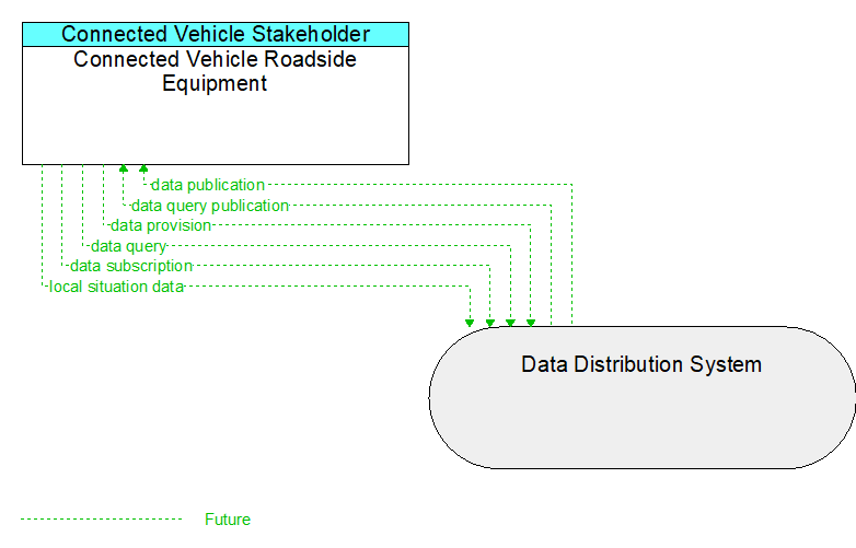
Interface: Connected Vehicle Roadside Equipment - Data Distribution System
Architecture Flow Definitions
data provision (Future) Applicable ITS Standards
Data provision provides the source material for a publish-subscribe or query-retrieval data distribution scheme. This is the 1 of the 1:N data distribution architecture. This flow is a super-flow; it does not define data elements but is inclusive of any flow implemented using publish-subscribe or query-retrieval methods.
data publication (Future) Applicable ITS Standards
Data publication includes those dialogs necessary to satisfy the publication portion of a data distribution architecture. At its core, it provides data, organized by the sender as a one-to-many. This is a super-flow, meaning that it does not define data elements and is inclusive of any flow that is design to use publish-subscribe.
data query (Future) Applicable ITS Standards
Data query includes those dialogs necessary to determine what data is available for and also submit a query for near-term response.
data query publication (Future) Applicable ITS Standards
Data query publication includes those dialogs necessary to satisfy the retrieval portion of a query-response action using the data distribution architecture. This is a super-flow, meaning that it does not define data elements and is inclusive of any flow that is design to use query-retrieval.
data subscription (Future) Applicable ITS Standards
Data subscription includes those dialogs necessary to determine what data is available for subscription/query, and also the dialogs necessary to create or modify data subscriptions/queries.
local situation data (Future) Applicable ITS Standards
This general flow represents the traffic, environmental, and emissions situation data that is collected from connected vehicles by an RSE, aggregated, filtered, and provided to a back-office center. It also includes data collected from ITS roadway equipment that provides current intersection and road network status for the area proximate to the RSE.